
Floodplain/FEMA Information
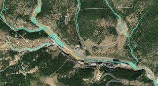
The City of Black Hawk has adopted a Floodplain Overlay District in accordance with FEMA.
The purpose of the Floodplain Overlay District is to promote public health, safety and general welfare and to minimize public and private losses due to flood conditions in specific areas by provisions designed to:
- Protect human life and health;
- Minimize expenditure of public money for costly flood control projects;
- Minimize the need for rescue and relief efforts associated with flooding which have historically been undertaken at the expense of the general public;
- Minimize prolonged business interruptions;
- Minimize damage to critical facilities, infrastructure, and other public facilities such as water, sewer and gas mains; electric and communications stations, substations and power plants, streets and bridges located in floodplains;
- Help maintain a stable tax base by providing for the sound use and development of flood prone areas so as to minimize future flood blight areas; and
- Ensure that potential buyers are notified that property is in a Special Flood Hazard Area.
The City of Black Hawk is in the process of implementing the Community Rating System (CRS) provided by Land Use Solutions of Colorado. For more information please visit their website: Community Rating System
Reference Library